Our services & projects at GeoScan.one
At GeoScan.one we offer advanced digital solutions for the comprehensive recording, analysis and management of objects and areas. Our focus is on providing precise data through cutting-edge technologies such as drone, laser and thermal imaging scans. These technologies enable us to develop tailor-made solutions for various industries, including construction, industry, energy, agriculture and real estate management.

drone and laser scans
Using high-precision drone and laser scans, we capture surfaces and objects in the shortest possible time and with the highest accuracy. This data provides the basis for detailed 3D models, 2D plans and other digital information.

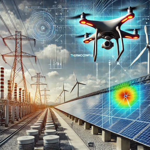
Thermography Scans
Our thermal imaging scans help to detect energy losses, moisture problems or structural defects at an early stage. This is particularly useful for facility management and building maintenance.

Building Information Modeling (BIM)
We create comprehensive BIM models that contain all relevant information about construction projects or existing objects. These digital twins are the basis for sustainable construction and planning processes.

Virtual 3D tours
With our virtual 3D tours we enable an interactive viewing of properties – ideal for real estate marketing or the planning of construction and maintenance projects.

3D/2D construction plans and 3D printing
Our precise construction plans and 3D prints enable a realistic and detailed representation of your projects and provide a solid basis for future decisions.

Projects in Focus
One of our most recent projects involves the recording of around 80,000 m² at the VfB Lübeck . Within just 4 days we have implemented a comprehensive all-in package that RGB scans , thermal scans , laser scans , BIM models , 3D/2D plans , virtual tours and 3D prints This shows how efficiently our technologies can be used to deliver tailor-made solutions for large-scale projects.
Our technologies have also played a central role in other projects, particularly in the following areas:
- industrial plant inspections
- sustainability and ESG data analyses
- energy and space management
Why GeoScan.one ?
With GeoScan.one you have a reliable partner at your side who focuses on the highest precision and efficiency. Our tailor-made solutions offer you:
- Fast and precise data capture
- Innovative technologies for future-oriented projects
- Comprehensive analyses for sustainable decisions
We support you in planning and implementing your projects more efficiently – from the initial recording to the final evaluation and presentation.
